SEPA River Levels – River Findhorn
River Levels | Tide Times | Weather
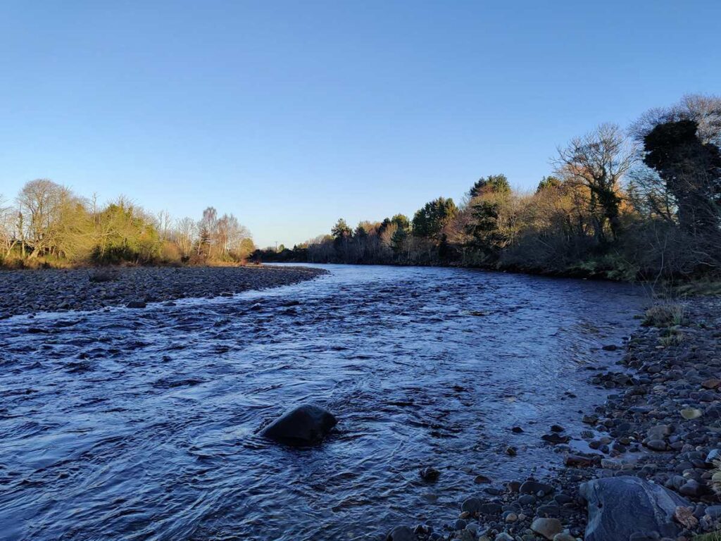
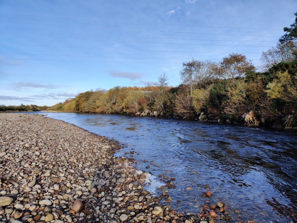
Rising in the Monadhliath mountains, the River Findhorn proceeds on its sixty odd mile course through a varied landscape to enter the sea at Findhorn Bay, not far below the town of Forres, the base of the Forres Angling Association, which manages the lower four miles of salmon and sea trout fishing on the river.

The Findhorn can be subject to sudden, at times spectacular, rises and falls, resulting from distant downpours in the headwaters far to the south west. Such spates will normally subside equally quickly, the river dropping back within a day or two to a good fishing height on the middle and lower beats. In the Springtime, an ample river level is normally maintained by the steady snow melt in the high corries, and salmon fishers might expect good fishing water well into May.
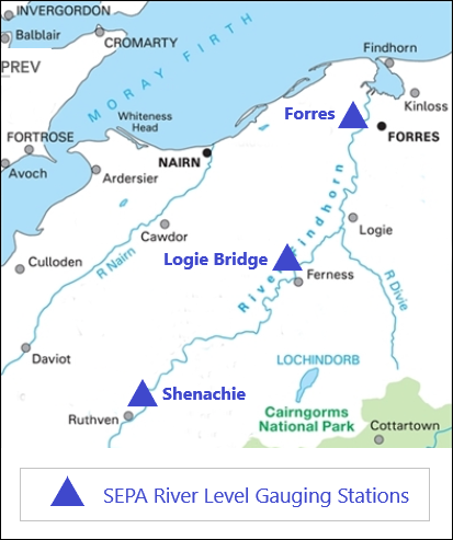
Salmon fishing prospects on the Forres Angling Association water of the River Findhorn, and on the many fishing beats the length of the river, depend greatly on conditions of weather and water, in particular on the river levels. The Scottish Environment Protection Agency publishes useful data, updated daily, for various gauging stations on the upper, middle and lower sections of the river, enabling the salmon fisherman to judge his prospects for his day or week’s fishing. The map below shows the location of three gauging stations on the Findhorn, together with links to the relevant pages on the SEPA website.

To view the most recently recorded River Findhorn levels on the upper, middle or lower river, click on the links below:
River Findhorn at Logie Bridge
Tide Times and Salmon Runs
Salmon may run from the Moray Firth, via Findhorn Bay, into the River Findhorn on any tide throughout the season, but particularly on high tides of around 4 metres or above. They will be further encouraged to run when the river is running high during or on a falling spate. High water on the river may see salmon running fairly quickly through the Forres association water on their way to the middle beats, while low water might encourage them to tarry awhile in the lower river. The salmon fisherman on the lower pools of the Forres Angling Association water will therefore keep a close eye on both the river and tide heights, when the optimum fishing times might be around or immediately following the time of the high tide. The link below will take you to a useful site giving up-to-date information on tide heights where the River Findhorn enters Findhorn Bay.
Tides on Lower River Findhorn at Forres
Weather at Forres
The river height and colour are of prime importance to the salmon angler’s chances on any river, so he will want to keep a close eye on the weather in the upper reaches in anticipation of any change in the river conditions while he is fishing. What he won’t want is a sudden and dramatic rise in the river level, nor will he welcome the extended drought conditions of one or two recent seasons, preferring instead a slowly falling river after an occasional spate. If fishing the Forres Angling Association pools, he may be frustrated by periods of continuous high water, which may see the salmon pushing through urgently to the higher beats. Generally low water conditions may hold a fresh run of fish in the lower pools just long enough for the local angler to cover them.

More generally, he will look for pleasant and favourable fishing conditions, always allowing for the time of year. With weather conditions on the river being at times so crucial to success, most of us will make regular checks on the weather prospects throughout the fishing season, particularly before a fishing trip. The BBC weather forecast linked below will give a fair idea of what to expect weather-wise in the local Forres area.